Escaped mental patient at Hardknott Pass, Lake District, Cumbria - photo by Tania Payne

Escaped mental patient at Hardknott Pass, Lake District, Cumbria - photo by Tania Payne
Tuesday 17 June 2014
Sunday 15 September 2013
Sherborne
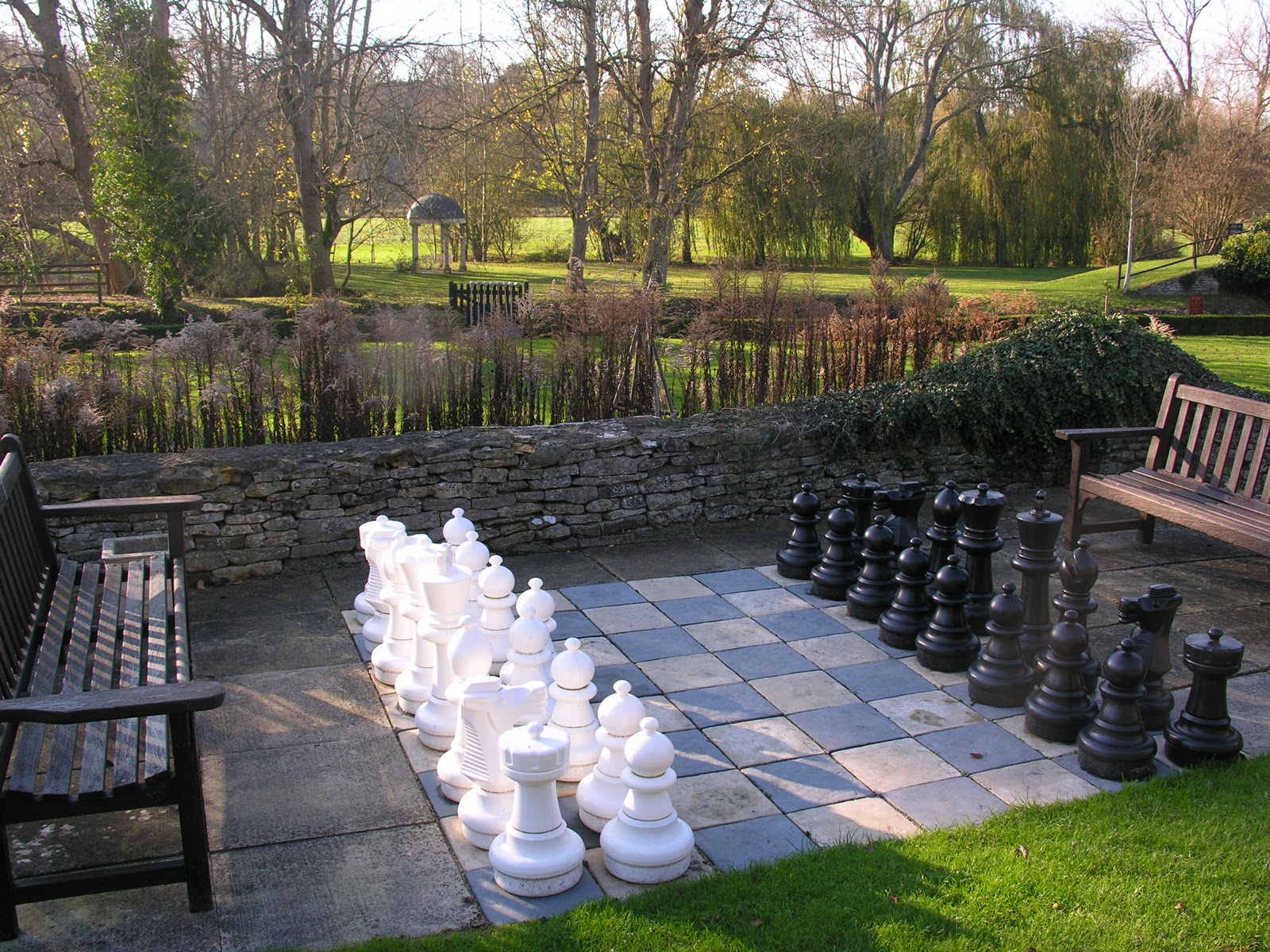
To use the northern vernacular of my friend Danny, I had a "lully" walk in the Cotswolds today. It was fairly bleak day, what with autumn coming and the wind blowing and a cloudy sky that held portent but fortunately not as much rain as one might have thought. Sometimes I think the Cotswolds are in themselves bleak and not in a bad sense. There's a lot of space out there - and a lot of history. Not that I know much of it, but you can tell it's definitely there.
Sherborne is just north of the A40 between Burford and Cheltenham. Opposite the brown National Trust sign for Lodge Park is the turn off for Sherborne and just a little way down this road is Ewe Pen Barn, where there is a car park. In the barn are maps of the walks round the Sherborne Estate, you can pick up a leaflet for free and off you trot.
Sherborne itself is a proper Cotswold town. I didn't see one house that wasn't real Cotswold stone. To the east are the Water Meadows and as I returned from my loop through them I met an aged man jogging in that strange, tottering way the very old sometimes do. Hugely impressive, but by no means fluid - or fast. He told me that I was only the fifth person he'd seen there in god knows how many years of running. He proceeded, without any prompting at all, to tell me about the conservation projects under way in the meadows. "They" have improved the banks of the Windrush in order to assist the habitats of water voles. Livestock have been deterred, by displacement of their watering holes, from urinating in the river. Gravel has been added to raise the bed of the river in order to help fish breed (I think!). He also told me how mice produce urine which is luminescent to birds of prey and that the trees at the banks of the river must be left to provide accommodation for insects. He then decided to speak French to me.
Not far from Sherborne is Windrush, another good stone town. A nice part of the world - and Donnington ales territory.


Saturday 2 February 2013
Great Coxwell and Coleshill
Great Coxwell, near Faringdon, is where George Martin lived aparently. One can walk quite pleasantly around Badbury Clump. Just across the road from the car park is a fantastic tithe barn.


5 minutes away by car is the village of Coleshill where there is a large estate. It was around here that Churchill had his secret army hidden.
The Radnor Arms is a fine pub, with its own real ales.


5 minutes away by car is the village of Coleshill where there is a large estate. It was around here that Churchill had his secret army hidden.
The Radnor Arms is a fine pub, with its own real ales.

Blenheim
The grounds of Blenheim Palace are nice to walk around, although the parts near the palace itself can get busy, particularly on weekends. As it's been so damn wet this year, I haven't done a proper country walk for ages. Blenheim is fairly hilly and doesn't tend to get too waterlogged. The main path is about 4 miles long, but you can walk off the path. Start at Combe Gate so you don't have to pay to go in. Park up near the Cock Inn in Combe itself and walk through the back of St James' church grounds. Then hang a right and follow the path across the fields until you hit a small road. Head left and at the junction right towards the gate. Here are some pics from one of the only nice days of the year...


 This tree is apparently the "Whomping Willow" in the Harry Potter films. Having a chilled day today, obviously.


Tuesday 24 April 2012
Hilcot
I used to work at the Kilkenny, a pub a few miles east of Cheltenham. I lived just down the road in a pretty remote area that was between Andoversford and Withington. No shops, not many houses, lots of sheep. I loved exploring that area on my own, but it still took me a little while to find Hilcot. I was surprised that no one had mentioned it to me, that people didn't rave about this mythical place. I would. Do.
Hilcot is a tiny hamlet consisting of just three houses. Even so, it is divided into Upper and Lower Hilcot. It is set in a sunken bowl surrounded by hills and so shielded from the outside world. I found it completely by accident, trying a new path and so was absolutely amazed when I emerged into this lovely little alpine spot with a pond and a stream.
It is one of my favourite places in the world and I'd like to live there one day, please (along with San Pedro, Lake Atitlan, Guatemala). I was on a train back to Cheltenham in or around '98 and met a guy called Matt who had been at uni with me, the University of East Anglia up in Norwich. We shared similar tastes in music and turntables, but hadn't hung out too much. I asked him where he was living and he said Hilcot. He'd sort of been adopted by a family who lived there - an old friend from school, a changing of circumstances.
Thus ensued a meeting of minds and much talk of Chicago and Detroit, of filtered disco and afro-germanic electro. For me, Dopplereffekt will forever be associated with magical Hilcot, weirdly.
 |
| This photie taken by my housemate Kim! |


Tuesday 3 April 2012
Ealing to Chancery Lane, mainly via canal
Last Saturday I found myself in Ealing on a nice day and fancied a walk. No voyage into the unknown, just a good old, mind-clearing plod with the headphones firmly in. I never get bored of the canals of London. For me they represent a largely unseen aspect of the city - you tend to find the hidden, the rejected, the alternative and the sometimes strange. More than once have I seen the remnants of some alien themed outdoor trance party, the disembodied painted doll head attached to a tree to act as some kind of sentry, or perhaps to further aid the trip.
There's a functional element to my use of the canals, as you might expect. When I'm sick of the tube, which is quite often, the canal allows me to enter and cross Central London far more quickly than the winding River Thames. It's an environment that not so many people are familiar with. They may have flirted with it around Camden and King's Cross, but that's usually it. Cyclists often know it better..
I like to go all the way to Canary Wharf, which sounds like a long way to walk. To do that takes me something like 4.5 hours. It's quite weird to imagine in your head leaving Ealing on foot and arriving at the other side of London still on foot. If you did it the way you would drive it, I think it would be quite boring - apart from the survival aspect of having to dodge the fast moving traffic. The canal walk into London is a satisfying transition from suburban semi-decay through industralised greenery to functional and even pretty residencial canal-side property.
You start on the Grand Union - which could take you all the way up to Birmingham if you went the other way - and then at Paddington Basin / Little Venice do a little overland hop and skip onto the Regent's Canal. The big white house is just before London Zoo. At this point, on this particular occasion, I went through The Regent's Park aiming for the BT tower and headed through Noho to get to my meeting place of Chancery Lane.
It is well worth continuing along the canal through Camden, King's Cross, Angel (bit of an overland section there, you can go through Chapel Market) / Hoxton / Haggerston / Victoria Park / Mile End and into Docklands. Cross London on foot in an afternoon and enjoy the silence.


 |
| Harrow Road is just behind these houses |


 |
| The Westway above |
 |
| Paddington Basin |

Saturday 26 November 2011
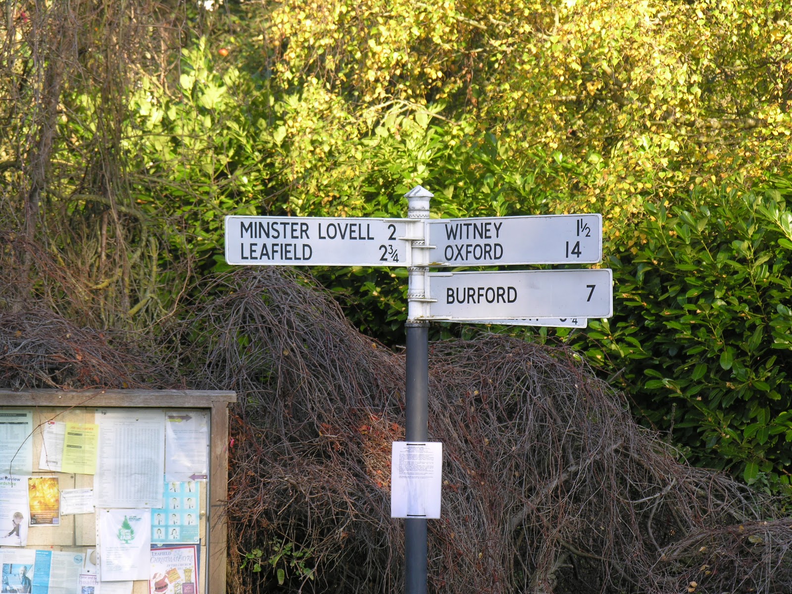
Witney Walking
So I'm at yoga right and I'm chatting to this girl about Burma, 'cos she's been you see and I'm going with work soon and anyway I says that this is going to be my last week at yoga, 'cos next week i'm gonna spend a couple o' nights in Witney and then I'm off to Burma, you see. And she says... "Is Witney your girlfriend?".
So now I live in true middle England - Witney, Oxfordshire, Cameron-land. A couple of weekends ago it was a beautiful day and I decided to do the walk to Minster Lovell again (I'd done it the day before) and the light was so good that I had to run into work and pick up the camera.
 |
| Audley Travel, where I work |


 |
| MInster Lovell ruins in the distance |


 |
| Minster Lovell |


Thursday 15 September 2011
Sentier Littoral de Cap Lardier - Gigaro, La Croix-Valmer to L'Escalet, Ramatuelle, France
Thumbnail
Name: Sentier Littoral (Coastal Path) de Cap Lardier - Plage (Beach) de Gigaro, La Croix-Valmer to L'Escalet (past Cap Taillat), Ramatuelle, France
Date of walk: 14 June 2011
Direction: East
Distance covered: Approx 7.5 miles (12km)
Time taken: 4 hours (it was hot!)
Marks/10: 10
In a (few) word(s): The best coastal walk I have ever done
Difficulty: Moderate - Gigaro to Cap Lardier is one fairly continuous climb - watch out for the heat
Signage: Good, albeit in French. As an added guide, keep the water on your right.
Start point
End point
Blurb
I know this area of Provence quite well, as my Mum's Uncle and Aunt (God bless 'em) lived near Ramatuelle and we used to visit Cap (Cape, or Point) Camarat and Pampelonne beach, where Brigitte Bardot did her thing in "And God Created Woman". Nearby is Chez Camille, the restaurant for bouillabaisse (spicy fisherman's soup), worth checking out. My Uncle Philippe lives in gorgeous Grimaud, with its castle, just inland a bit. A lovely part of the world - lots of forest and vineyards and beautiful, sandy beaches and tall cane growing.
This happens to be Uncle Philippe's favourite stretch of coast and he has walked and sailed an awful lot on the Côte d’Azur. I however had never done this walk, or seen these bays and beaches, before - and it was a revelation, to the point that I berated my mother for not taking me here as a child.
Pics
Of interest
Once you get to the plateau above the headland of Cap Lardier, the shaded, fragrant pine and wild herbs help cool you down and as you round the corner, you get some stunning views of Cap Taillat and beyond. The water was gorgeously clear when I did it. The beaches at the end are stunning, even if there is the odd naked man to avert your eyes from. There weren't many people around - once you get onto the coastal path proper, there is no road access.
I can't think of anywhere I would rather swim than in the bay at Cap Taillat. To the left there is a little stretch of sand that connects to the headland - a double-sided beach!
This whole area is protected and there is no development. My friend Capucine has worked for the agency that manages this very path, so if you have any feedback or questions, do let me know.
Name: Sentier Littoral (Coastal Path) de Cap Lardier - Plage (Beach) de Gigaro, La Croix-Valmer to L'Escalet (past Cap Taillat), Ramatuelle, France
Date of walk: 14 June 2011
Direction: East
Distance covered: Approx 7.5 miles (12km)
Time taken: 4 hours (it was hot!)
Marks/10: 10
In a (few) word(s): The best coastal walk I have ever done
Difficulty: Moderate - Gigaro to Cap Lardier is one fairly continuous climb - watch out for the heat
Signage: Good, albeit in French. As an added guide, keep the water on your right.
Start point
End point
Blurb
I know this area of Provence quite well, as my Mum's Uncle and Aunt (God bless 'em) lived near Ramatuelle and we used to visit Cap (Cape, or Point) Camarat and Pampelonne beach, where Brigitte Bardot did her thing in "And God Created Woman". Nearby is Chez Camille, the restaurant for bouillabaisse (spicy fisherman's soup), worth checking out. My Uncle Philippe lives in gorgeous Grimaud, with its castle, just inland a bit. A lovely part of the world - lots of forest and vineyards and beautiful, sandy beaches and tall cane growing.
This happens to be Uncle Philippe's favourite stretch of coast and he has walked and sailed an awful lot on the Côte d’Azur. I however had never done this walk, or seen these bays and beaches, before - and it was a revelation, to the point that I berated my mother for not taking me here as a child.
Pics
 |
| Cap Taillat ahead - photo by Philippe Van Den Bosch |
 |
| Me with Cap Lardier behind - photo by Philippe Van Den Bosch |
 |
| Cap Taillat again - photo by Philippe Van Den Bosch |
 |
| Mmmm, lovely, clear water - photo by Philippe Van Den Bosch |
Once you get to the plateau above the headland of Cap Lardier, the shaded, fragrant pine and wild herbs help cool you down and as you round the corner, you get some stunning views of Cap Taillat and beyond. The water was gorgeously clear when I did it. The beaches at the end are stunning, even if there is the odd naked man to avert your eyes from. There weren't many people around - once you get onto the coastal path proper, there is no road access.
I can't think of anywhere I would rather swim than in the bay at Cap Taillat. To the left there is a little stretch of sand that connects to the headland - a double-sided beach!
This whole area is protected and there is no development. My friend Capucine has worked for the agency that manages this very path, so if you have any feedback or questions, do let me know.
Subscribe to:
Posts (Atom)